Royalty Free Antique, Historical, Vintage Clip Art Maps, World, America, Europe, Africa, Asia, Middle East
 |
|
|
MENU • Home • World Projection Maps • Selected Printable Maps • Bible Maps • CD Map Store To Download a Graphic
|
Royalty Free Antique and Historical Maps Free antique, historical printable maps that you can download to your computer for your projects. Maps come from the Library of Congress's amazing collection of vintage maps from 1500-1900. Collection includes World Projections, North America, Europe, Asia, Africa, Middle East, South America and Countries. A full hi res collection of Antique Historical is available on 3 CD Roms from www.antiquehistoricalmaps.com and at Amazon.com. 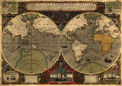 Antique Historical World mercator map from 1595. Map shows expeditions from around the world, pictures of Captain Cook's ship. Printable antique map 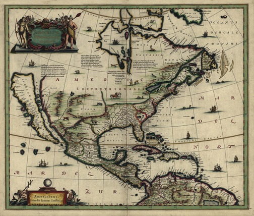 North America Antique Historical map from 1652, Equator, some coasts, and othe details gilded, Cartograher Ioannes Ianssonius, printable antique map To learn more, check out our Antique Historical Maps site with 125 Free Antique Maps www.antiquehistoricalmaps.com
|
Please Like Us on Facebook or Plus+
Map Products from World of Maps
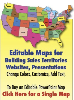
Editable PowerPoint Maps Editable PowerPoint and Illustrator Maps • BJDesign.com
World Maps and Globes Coloring Book
We have take some of our Map Designs and added them to lots of Gift Products |
Images are royalty free and can be downloaded to your computer for graphic design, illustrations, presentations, websites, scrapbooks, craft or education projects. Images cannot be resold under any condition. Images cannot be used to duplicate similar websites. Do you need an editable, royalty free, PowerPoint or Adobe Illustrator version of this maps for a project? We have a complete editable collection of World, USA, States, Counties, World Regions, Countries, and Globes, to learn more check out www.bjdesign.com or www.mapsfordesign.com Don't Forget to Bookmark Us!
|
|
|

Licensing | Contact | About | Disclaimer/Privacy Policy | FAQ | Site Map © Bruce Jones Design Inc. 2010-13. *Images are royalty free for design, illustrations, presentations, websites, scrapbooks, craft and education projects. USA and Canada Maps | World Projections | US States | US County | World Countries | World Regions | World Globes www.freeusandworldmaps.com • Please direct questions to 781-255-7171 |